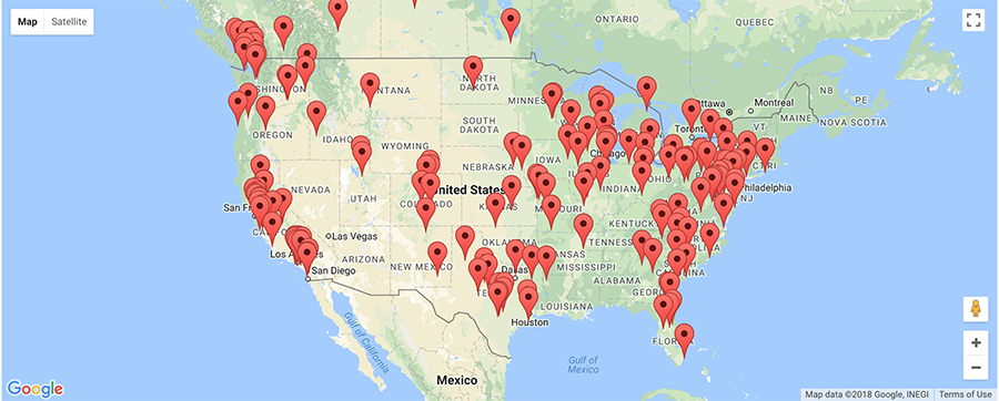
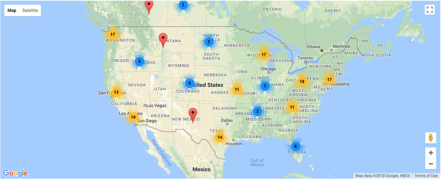
When you have a large number of map markers in a particular area, the map display can appear overly confusing and cluttered. A solution for this which we are now announcing is to combine markers of close proximity into clusters, simplifying the display of markers on the map. The best way to explain this is using pictures:
Here's an example of a map with a lot of markers close together:

And here's the same map with marker clustering enabled:

The number on a cluster indicates how many markers it contains. As you zoom into any of the cluster locations by either adjusting the map zoom level or clicking on the marker cluster, the number on the cluster decreases, and you begin to see the individual markers on the map. Zooming out of the map consolidates the markers into clusters again.
If you'd like to enable marker clustering on your locator, visit the Settings page and set 'Marker Clustering' to 'Enabled' as shown below:
